
Cloud based platform for local governments and provinces - cadaster, property management, registrations and taxation. Easy integrations with your internal systems and workflows.
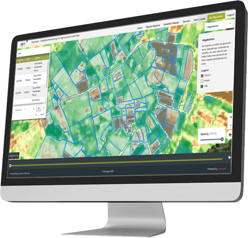
Provinces, municipalities, cities, towns do not have to invest millions in developing a platform to administrate their territories. Subscribe, configure and integrate with your systems and you are ready to go.
Registration of buildings, parkings, homes, schools, hospitals, street lights, billboards and all kinds of assets that need to be tracked on maps with geolocations and metadata. Optimize the tax stream with accurate registrations.
Map all assets classes into a map and define areas for future development. Visualize how green areas, nature and urban development combine and conflict and enforce regulatory compliance.
Using periodic satellite captures, the platform will detect changes in infrastructure and land use. Identifies urban evolution and growth, with automatic detection of new and disappearing structures. Detect illegal constructions immediately.
Monitor deforestation, vegetation health, and environmental changes with satellite analysis to build greener cities and enforce environmental regulations. Map tree coverage to improve habitability and health.
Terrakapti offers an agricultural monitor with parcel level readings on crop health, growth and usage so that provinces and municipalities can offer support and interventions to their local farmers.
We create a web application where field inspectors from your organization can collect data in the future and add it directly to Terrakapti assets.
For organizations or local governments that lack a updated cadaster or no comprehensive territorial management platform. A cloud- based solution that is ready to work.
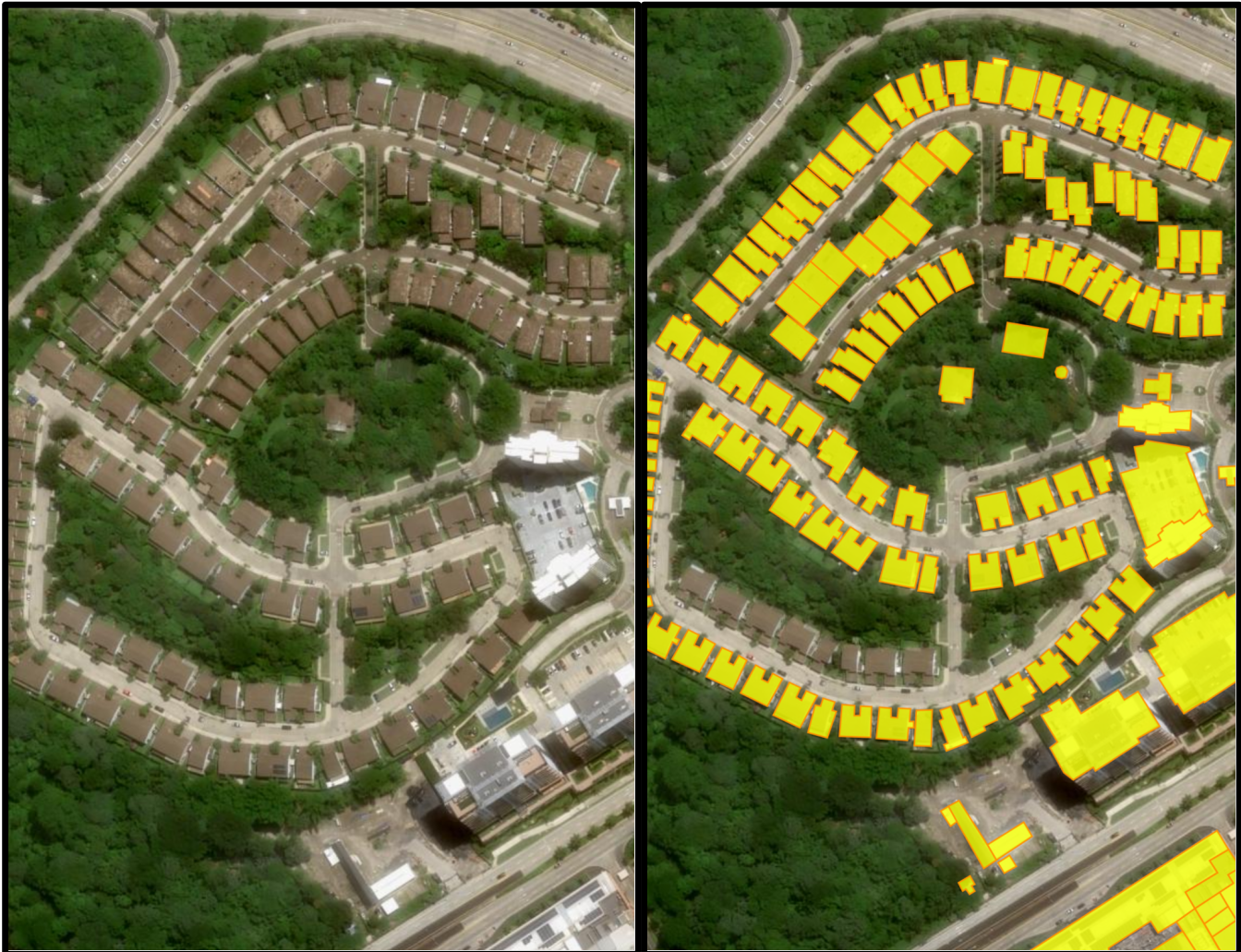
No cadastre? Too old? No problem! We use high resolution satellite captures to create a very high quality approximation complimented with field inspections.
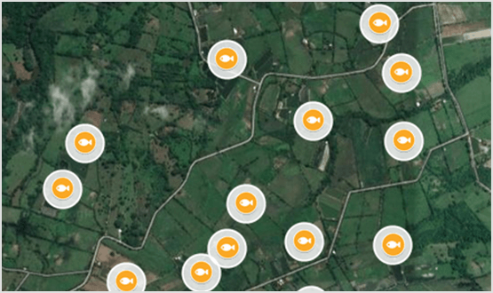
Different classes of assents to keep track of: homes, buildings, parkings, tree cover, residential pools, billboards or electric posts.
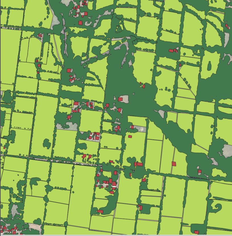
Visualize all your assets in interactive maps where you can easily derive statistics, sectoral analysis and easily read the associated metadata.
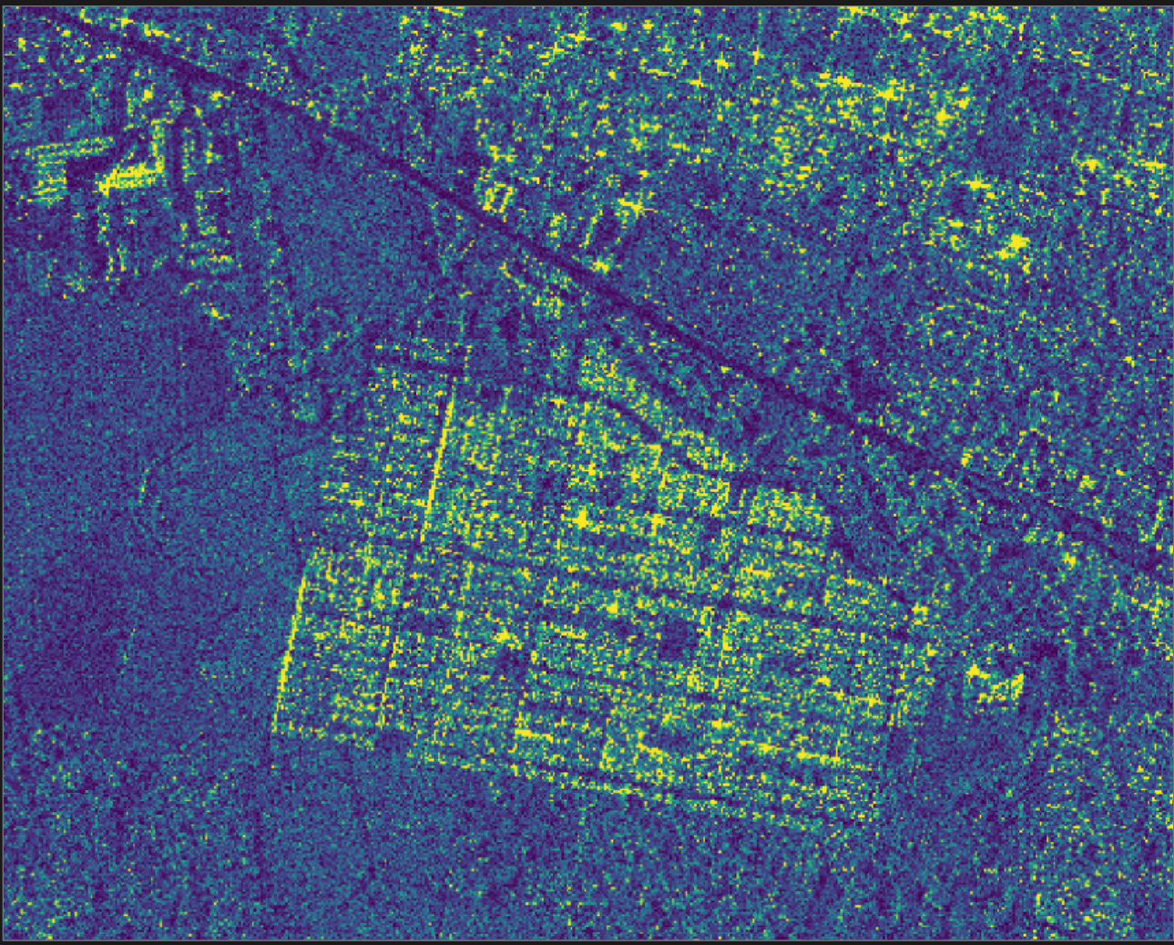
Terrakapti is fed by satellites to automatically detect changes in your territory: city growth, new constructions, deforestation. No need for an army of field inspectors!
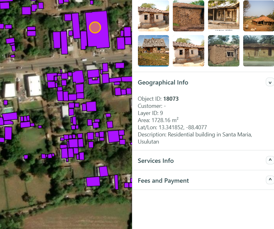
The platform will provide you with statistics, sectoral analysis and answer any type of questions via our artificial intelligence module.
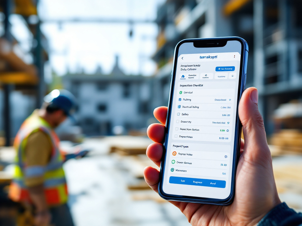
Local partners gather field data when creating your cadastre. We also provide an app for your field inspectors so data can fed and updated anytime in the future.
Trusted by governments and organizations worldwide to transform territory management.
Beyond our platform we offer comprehensive support and a network of local partners to ensure your success and satisfaction.
We work with local companies to collect data on the ground to build and update cadasters and asset data. Specialized partners ensure accurate and up-to-date territorial information.
A mobile application will be available where field inspectors from your organization can collect data in the future and add it directly to Terrakapti assets.
Seamlessly integrate with existing systems via APIs. Connect to your databases, CRM, ERP, Accounting and other internal systems for unified workflow that adjusts to your established procedures.
We provide a dedicated helpdesk to support you with the initial setup of your data and configurations. Get expert assistance to get started quickly and efficiently.